
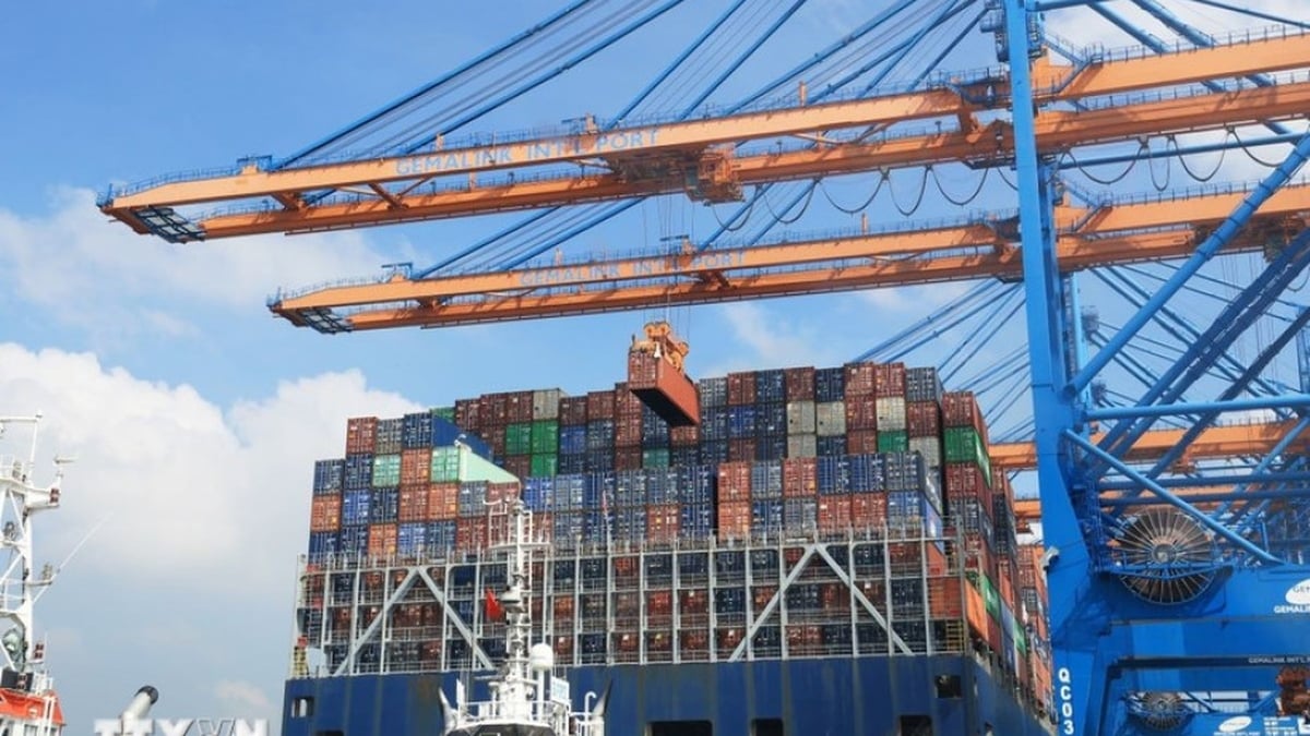
This high tide may peak between January 2 and 4. The National Center for Hydro-Meteorological Forecasting said: The highest water level at Vung Tau marine station is 4.01m (at 00:45) on February 10. In coastal waters in the Southeast region, the common wave height is 1.5 - 2.5m.

Ho Chi Minh City faces high tides near alert level 3, spring travelers need to take note
Strong northeast wind level 6, sometimes level 7, gusting to level 8. Wave forecast: Wave height in the coastal waters of the Southeast region is generally 2 - 3m, rough sea; offshore waves are 3 - 5m high. Water levels in the coastal waters of the Southeast region tend to increase, the highest height at Vung Tau station can reach 4.15m.
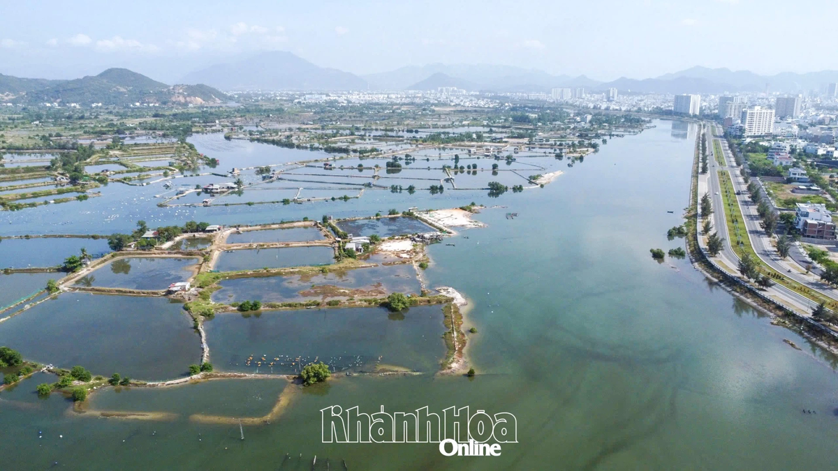
Due to the influence of high tides combined with strong winds and big waves, low-lying areas, riverside areas, and areas outside the dike in the eastern coastal area of the South are likely to be flooded in the early morning and afternoon, increasing the risk of saltwater intrusion in rivers.
For Ho Chi Minh City, the Southern Hydrometeorological Station said: Water levels at stations downstream of the Saigon - Dong Nai river system rose rapidly and were at high levels in the past 24 hours. By 7:00 a.m. on February 10, the highest water level of the day at Phu An station was 1.49m; Nha Be station was 1.48m, both at approximately alarm level 2. Water levels at these stations continue to rise rapidly following the high tide in early January of the lunar calendar. The peak tide of this period is likely to occur on February 11-13 (the 2nd-4th day of the Lunar New Year). At Phu An and Nha Be stations, it may be at 1.55-1.6m, approximately or 0.05m below alarm level 3. The peak tide time is from 4-6am and 5-7pm, which can cause flooding in low-lying areas. Spring travelers should pay attention.
Because the South is in the dry season, high tides are also associated with saltwater intrusion. On the Saigon River, the 4‰ salinity line penetrates about 70 - 75km deep. The level of natural disaster risk due to saltwater intrusion on rivers in the Ho Chi Minh City area is at level 3, affecting people's lives, activities and production.
Source link


![[Maritime News] Two Evergreen ships in a row: More than 50 containers fell into the sea](https://vphoto.vietnam.vn/thumb/402x226/vietnam/resource/IMAGE/2025/8/4/7c4aab5ced9d4b0e893092ffc2be8327)


Comment (0)