
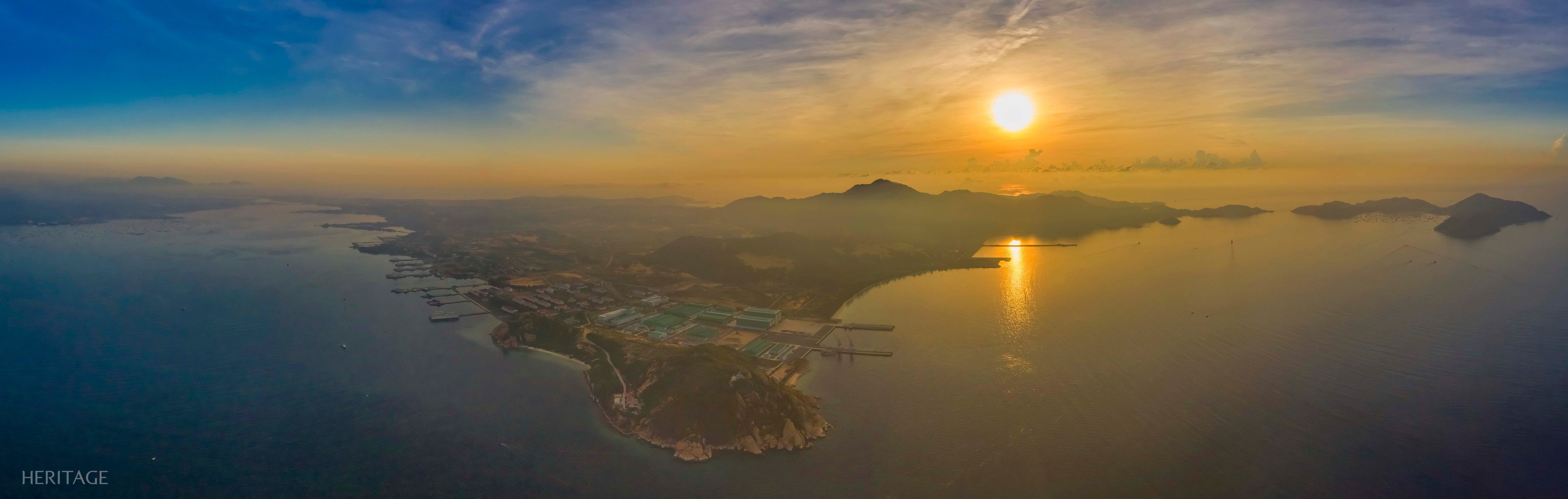
Cam Ranh Bay is extended by Cam Nghia peninsula into an arc, embracing the northeast and the large island of Binh Ba blocking the east. Meanwhile, Binh Lap peninsula is like a rhinoceros horn pointing up from the south, dividing Cam Ranh Bay into two halves: the inner bay (west) is secluded with an opening to the outside, called Cua Hep, created by Sop cape northeast of Binh Lap and Hon Lang cape southwest of Cam Nghia; the outer bay (east) is smaller, but also calm, deep and secluded, surrounded by Binh Lap, Cam Nghia and Binh Ba island, opening to the East Sea by the Big gate in the southeast, and the Small gate in the east.
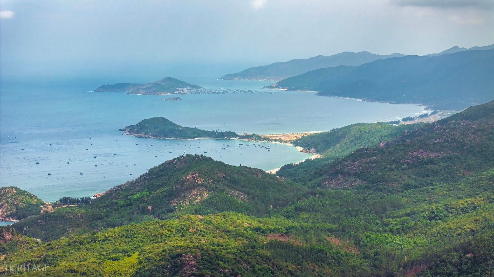
Binh Lap is a peninsula, but it is also isolated almost like an island, because of its special terrain jutting out into the middle of Cam Ranh Bay. To reach Binh Lap by road, you have to go south of Cam Ranh city, turn towards the sea and then go back north again, so residents of Binh Lap often go to the "mainland" by boat for convenience. Because of these differences in location and transportation, Binh Lap still retains its wildness and the purity of nature.
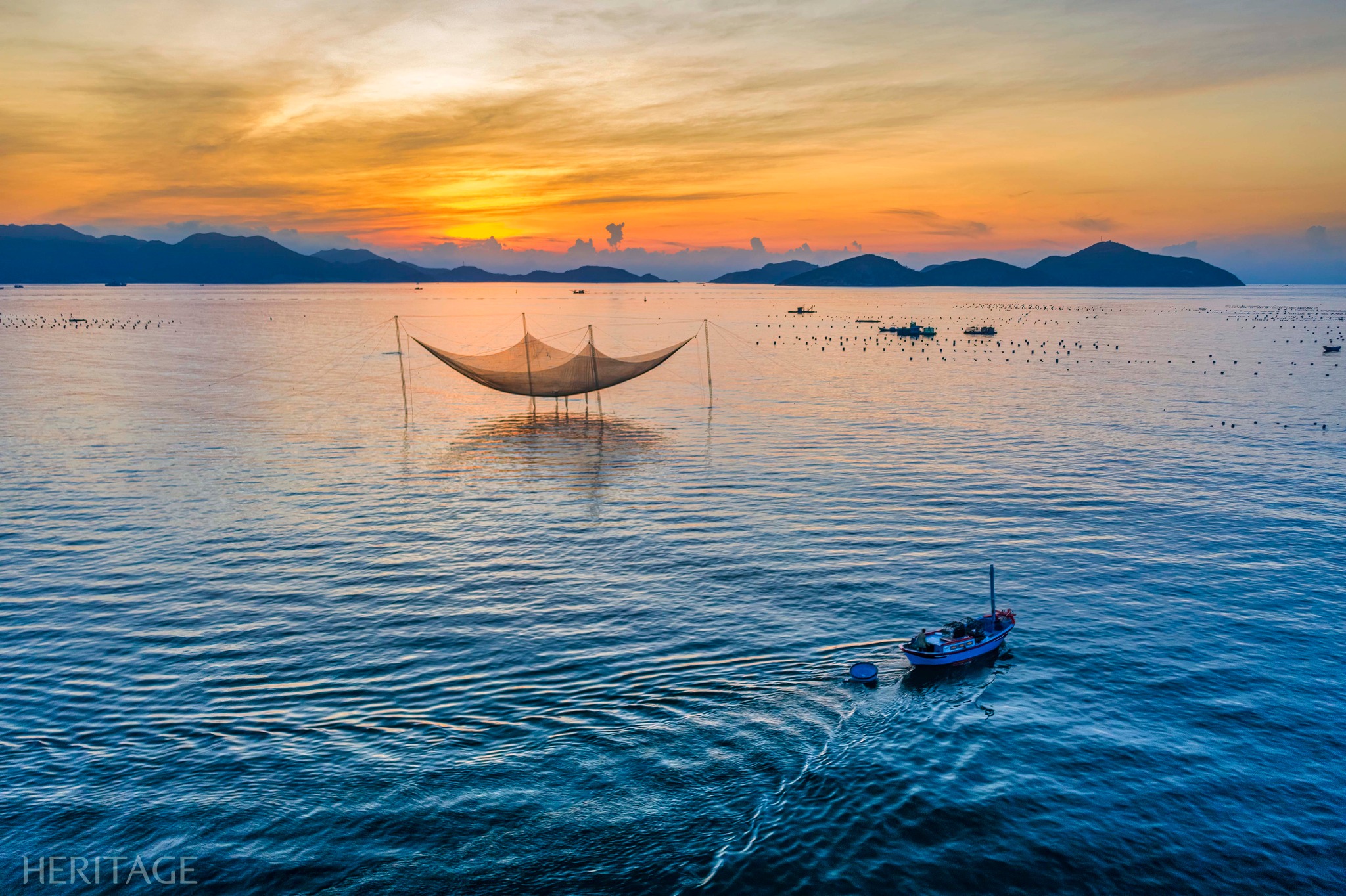
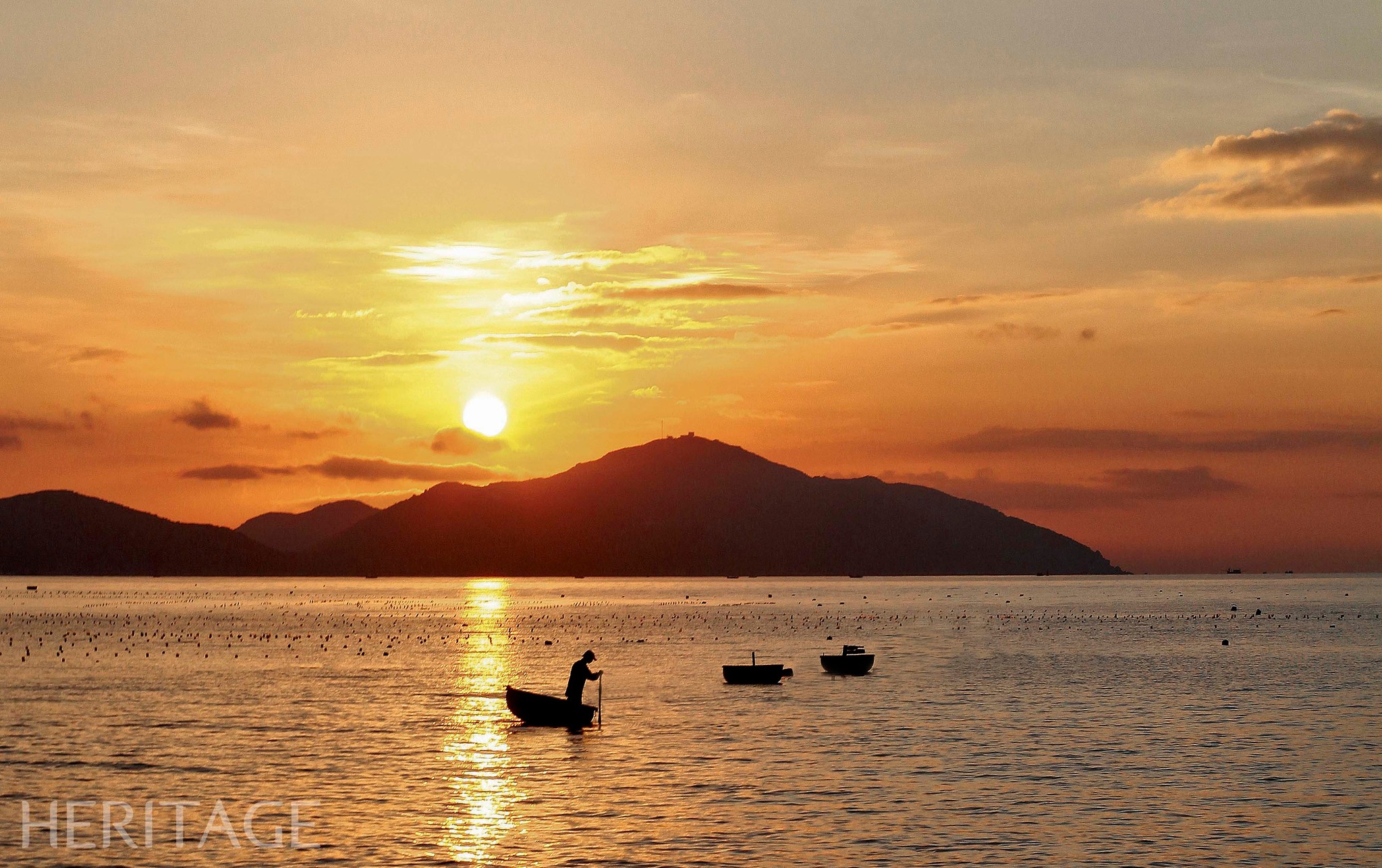
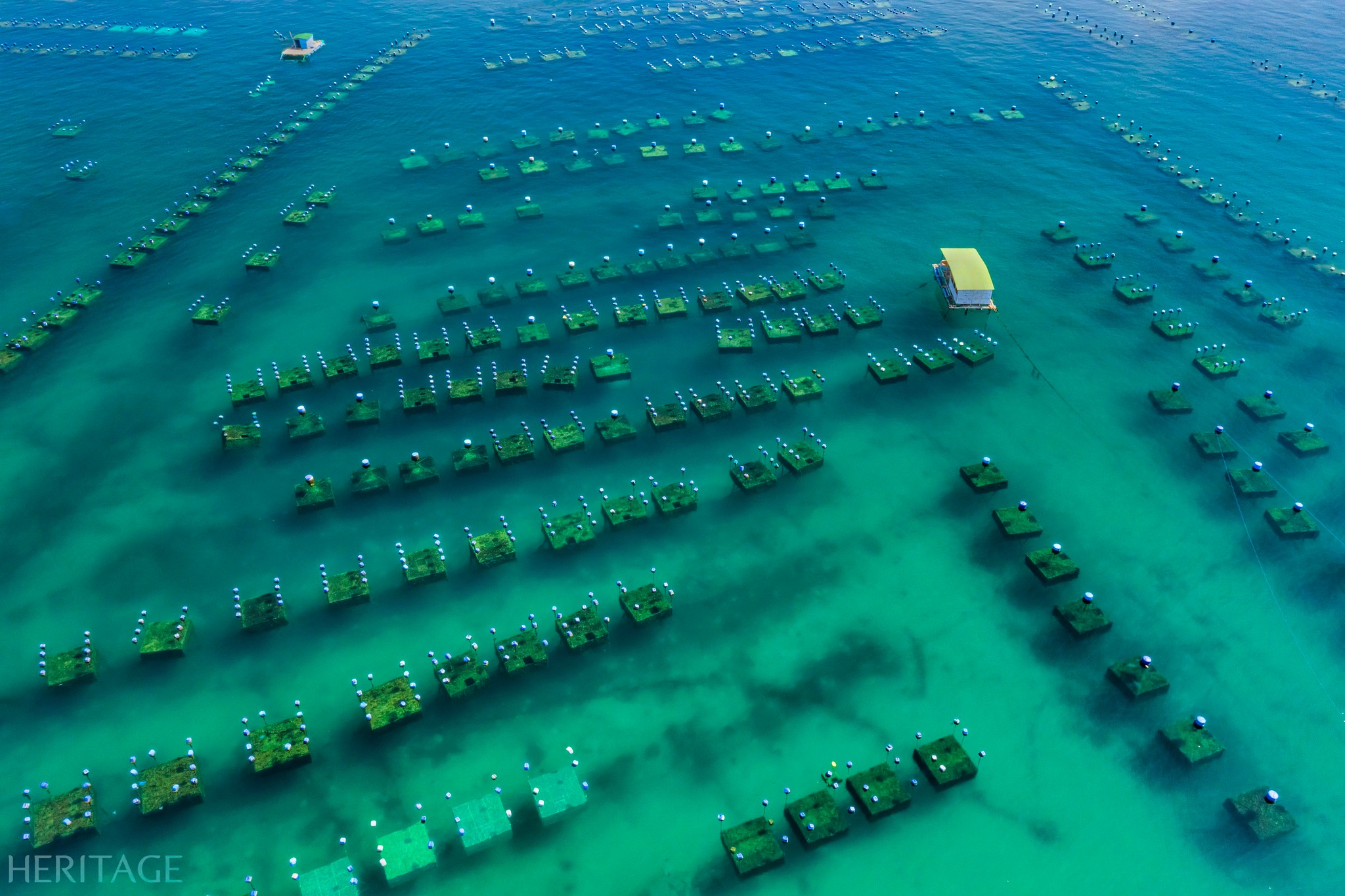
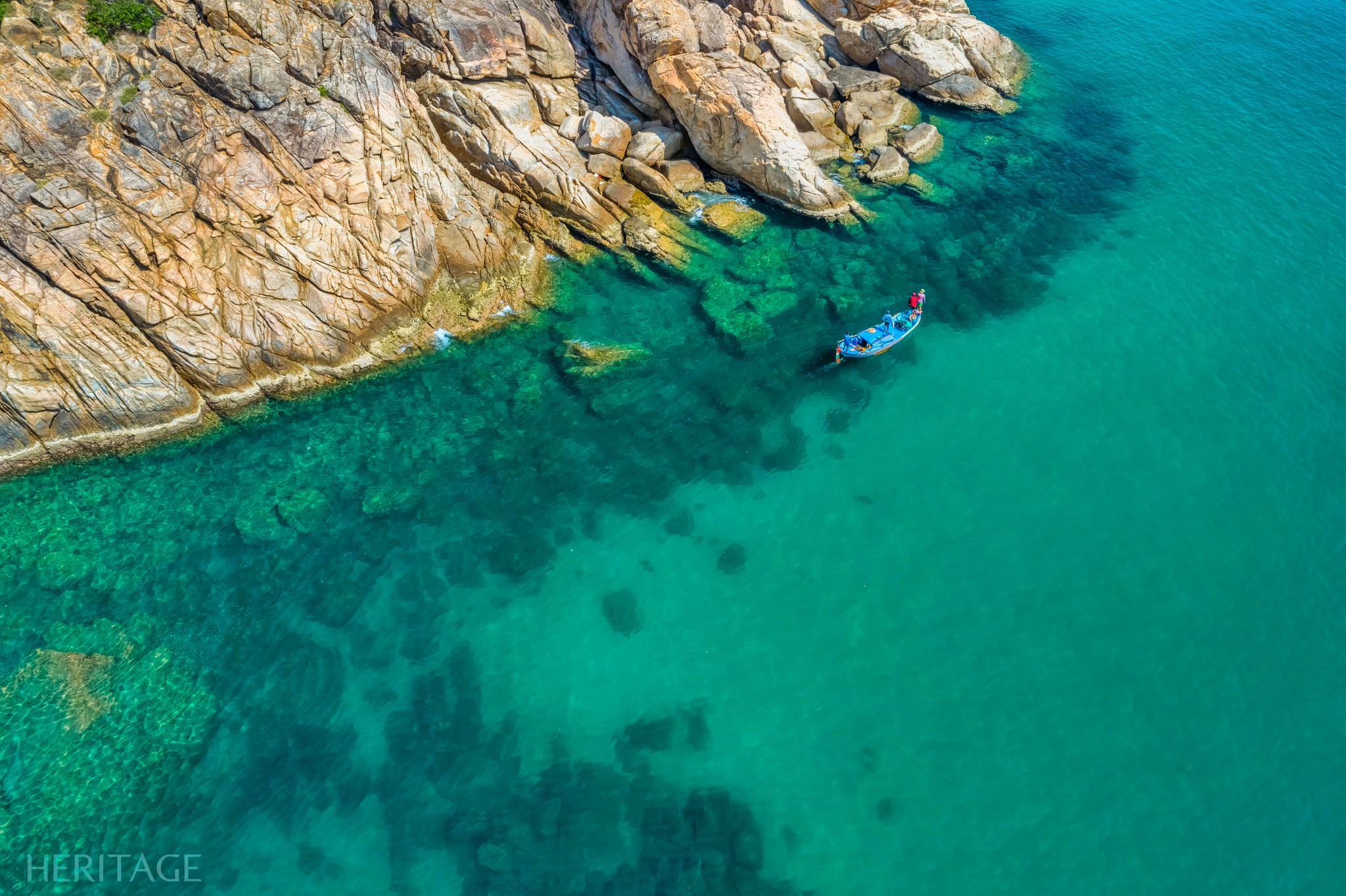
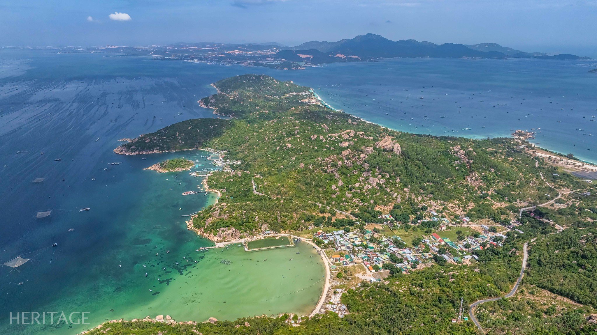
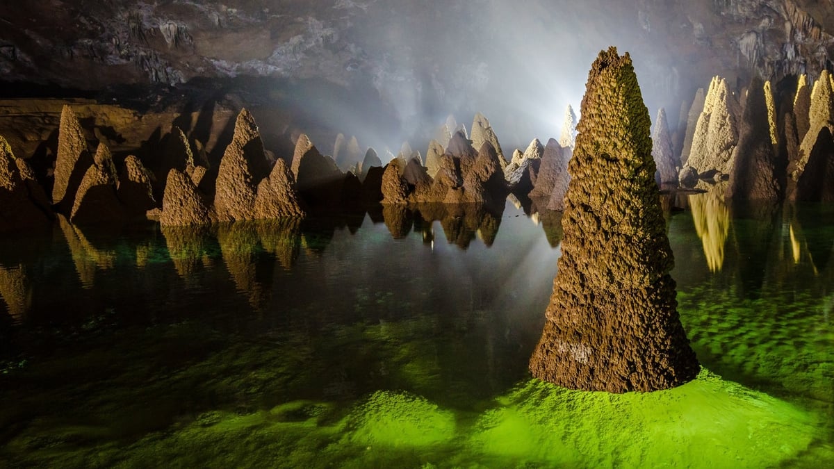
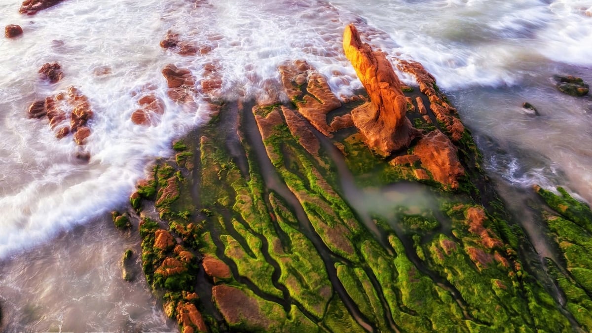
This relatively flat and narrow area lies almost horizontally in the middle of the “rhino horn”: to the west is a small cove that cuts deep into the island like a giant U, to the east is Ngang beach (Binh Lap’s main beach), a white sand beach hundreds of meters long, slightly curved, looking straight at Binh Ba island and Cua Lon of Cam Ranh bay. Covered with a discreet shelter, the sea surface here is as clear as jade and very calm. Oyster cages are released under the water, anchored by buoys, arranged in long, straight rows, looking like green carts full of products from the sea. Interspersed with them are seafood rafts that remind us of sea stations. Fishermen’s boats and baskets are anchored and bobbing on the clear water, looking from above like vivid and beautiful toys.
Heritage Magazine


![[Infographic] Traditional friendship and good cooperation between Vietnam and Egypt](https://vphoto.vietnam.vn/thumb/402x226/vietnam/resource/IMAGE/2025/8/4/9a2112b4046e4c128fdcb5403489866a)


Comment (0)