
BTO- Binh Thuan Irrigation Works Exploitation Company Limited said that the company is currently operating the buffer water drainage through the spillway of Song Luy Lake (Bac Binh) and Cam Hang Lake (Ham Thuan Bac) to ensure the safety of the project, while reducing flooding in the downstream area when heavy rain occurs.
Accordingly, in the past few days, the upstream area of Song Luy Lake has had rain, combined with the amount of water running from Dai Ninh Hydropower Plant, so the amount of water flowing into the lake is large. The water level of Song Luy Lake is at +128.46 m and is continuing to rise rapidly, approaching the normal water level of +129.5 m.
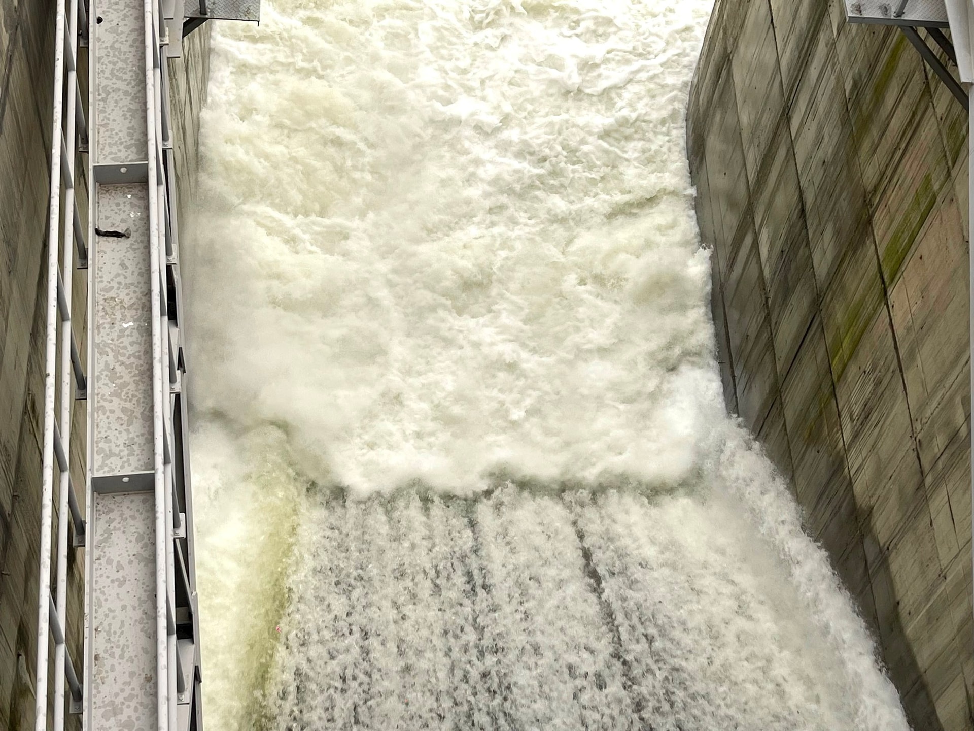
In addition, according to the forecast of the National Center for Hydro-Meteorological Forecasting, in the coming days, the province will have showers and thunderstorms, with localized heavy rain. In order to increase the flood prevention capacity of the reservoir, ensure the safety of the project, and reduce flooding in the downstream area when heavy rain occurs. Therefore, the Company will operate the buffer discharge through the spillway of Song Luy reservoir starting at 9:00 a.m. on July 21, 2024; regulating the buffer discharge with a flow rate of 20 m³/s. Then, depending on the amount of water arriving at the reservoir, the Company will increase the regulated flow rate from 30 - 100 m³/s.
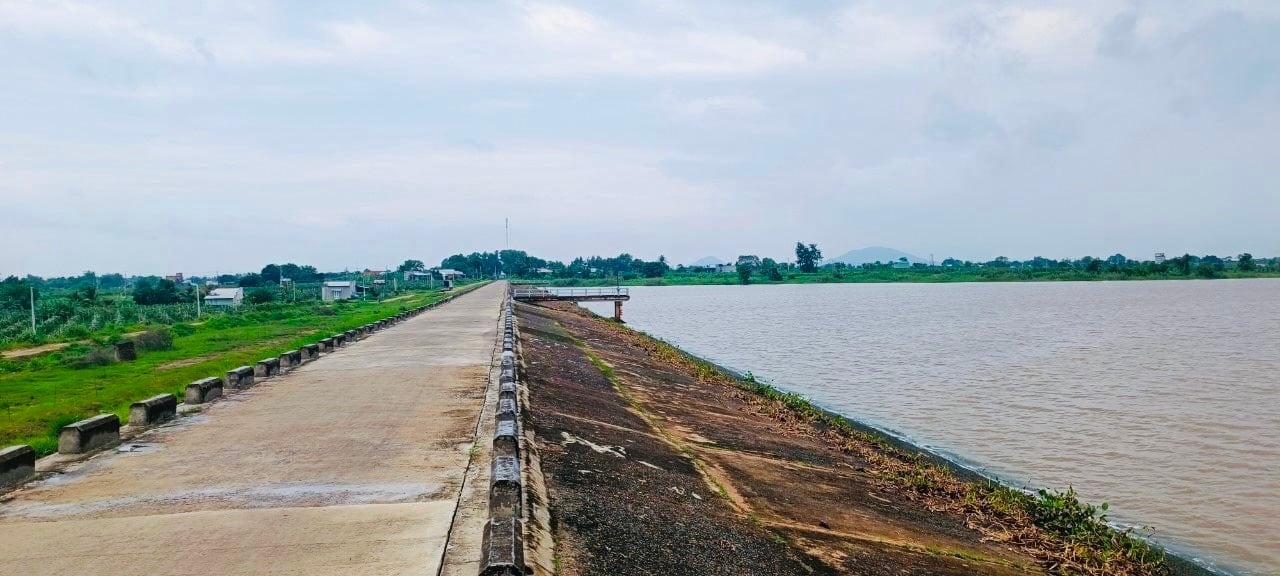
Also according to the Irrigation Works Exploitation Company Limited, the unit is currently regulating water through the spillway of Cam Hang Lake with a flow rate of 6-15 m3/s. The reason is that in the past few days, the upstream area of Cam Hang Lake has had heavy rain. The water level of Cam Hang Lake is at +24.66m, approximately equal to the normal water level of +25m and is continuing to rise.
To avoid damage to people in affected areas, the Company requests the People's Committees of Ham Thuan Bac, Bac Binh, and Tuy Phong districts to notify localities and people along the flood discharge routes of Cam Hang and Song Luy lakes, and to proactively take safety precautions.
Regarding storm No. 2, according to the National Center for Hydro-Meteorological Forecasting, at 7:00 a.m. on July 22, the center of the storm was located at about 19.5 degrees North latitude; 109.3 degrees East longitude, in the area of Hainan Island (China). The strongest wind near the center of the storm was level 8-9 (62 - 88 km/h), gusting to level 11, moving northwest at a speed of about 15 km/h.
K. HANG
Source: https://baobinhthuan.com.vn/xa-lu-ho-song-luy-cam-hang-do-mua-lon-121543.html


Comment (0)